Wings Clipped

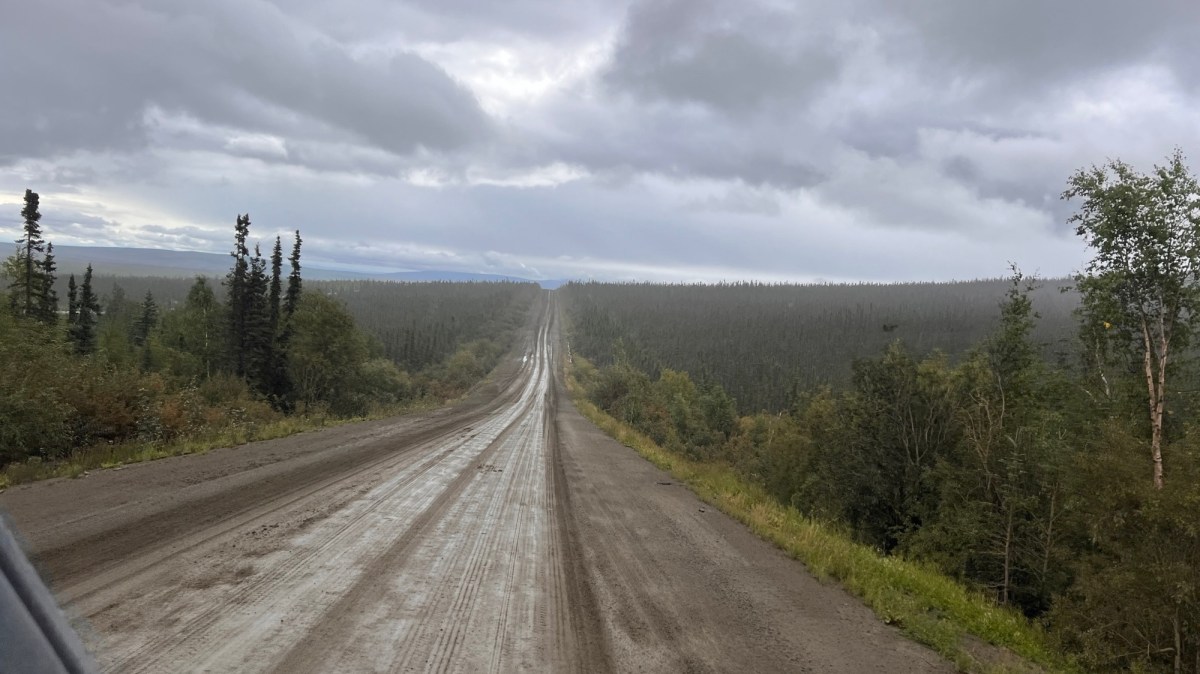
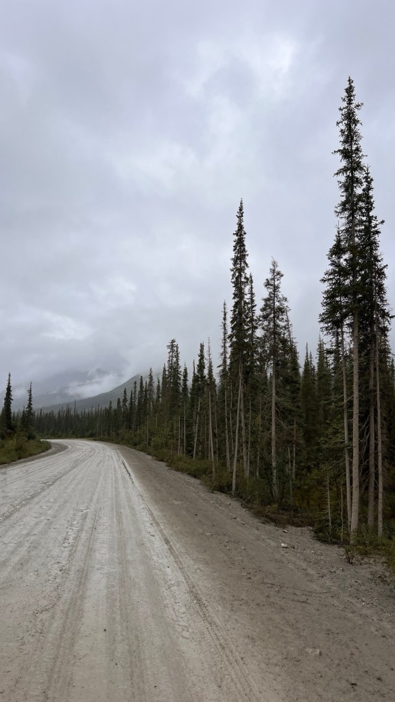
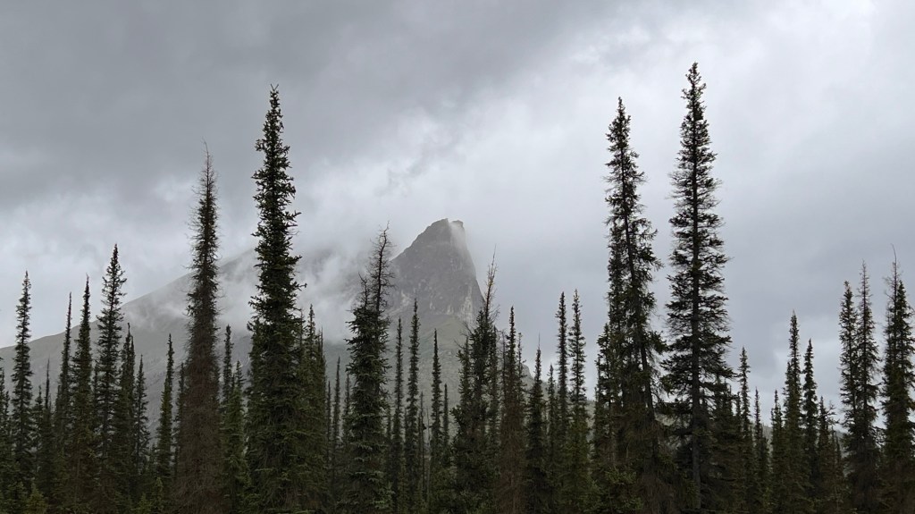
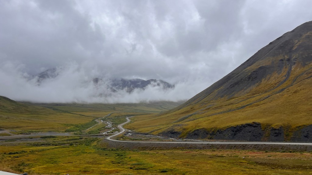
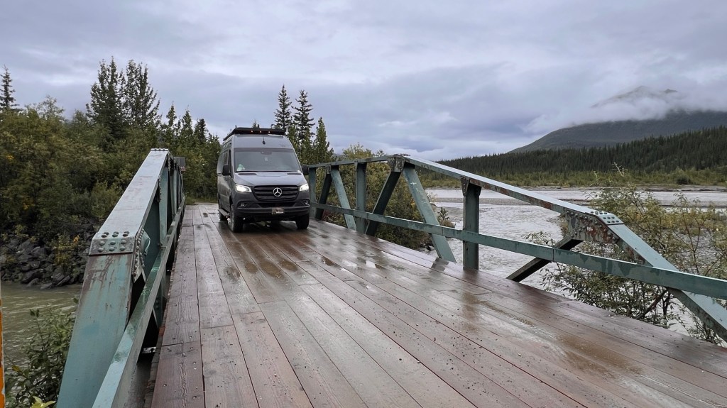
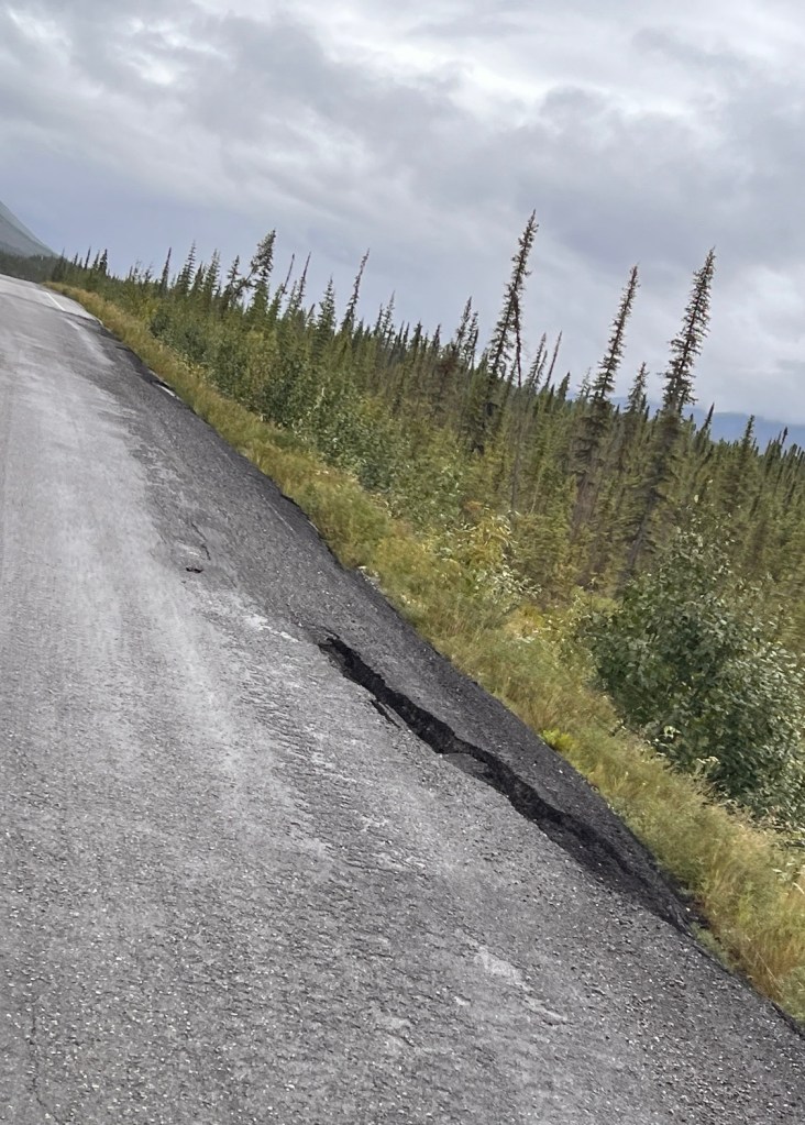
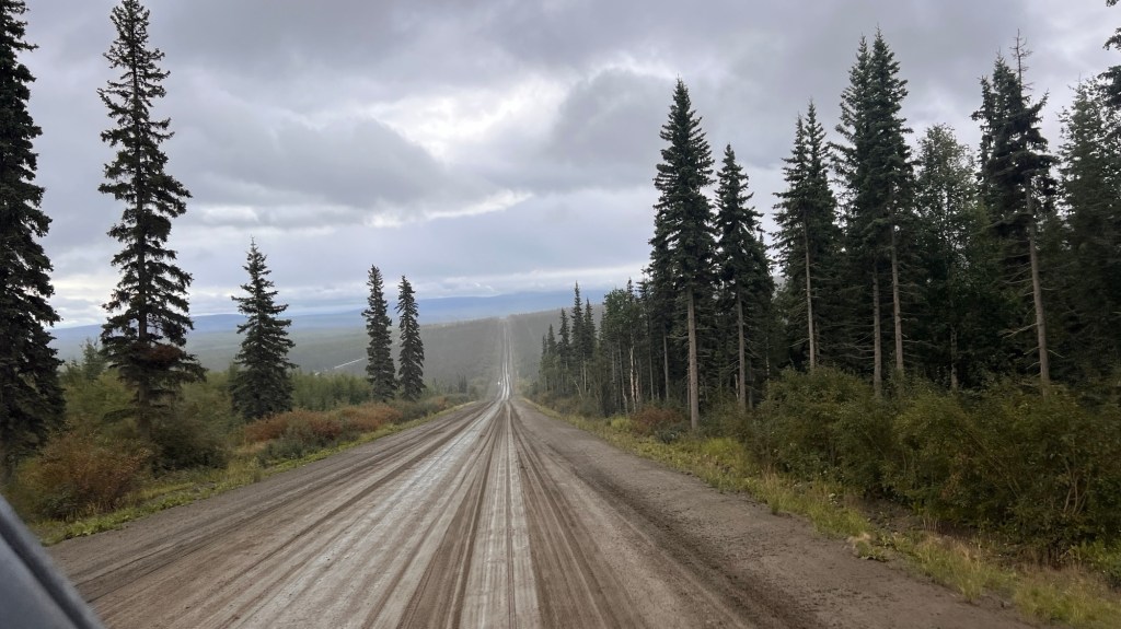
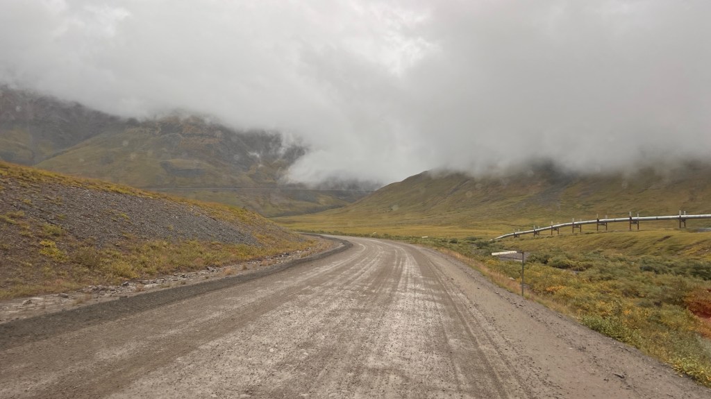
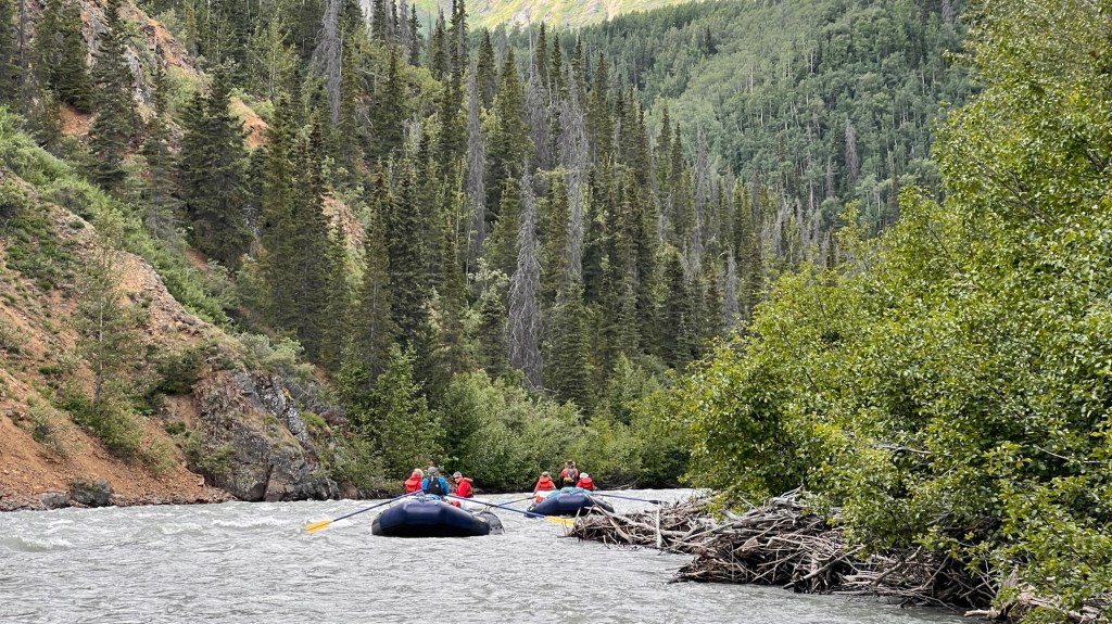
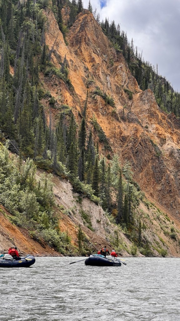
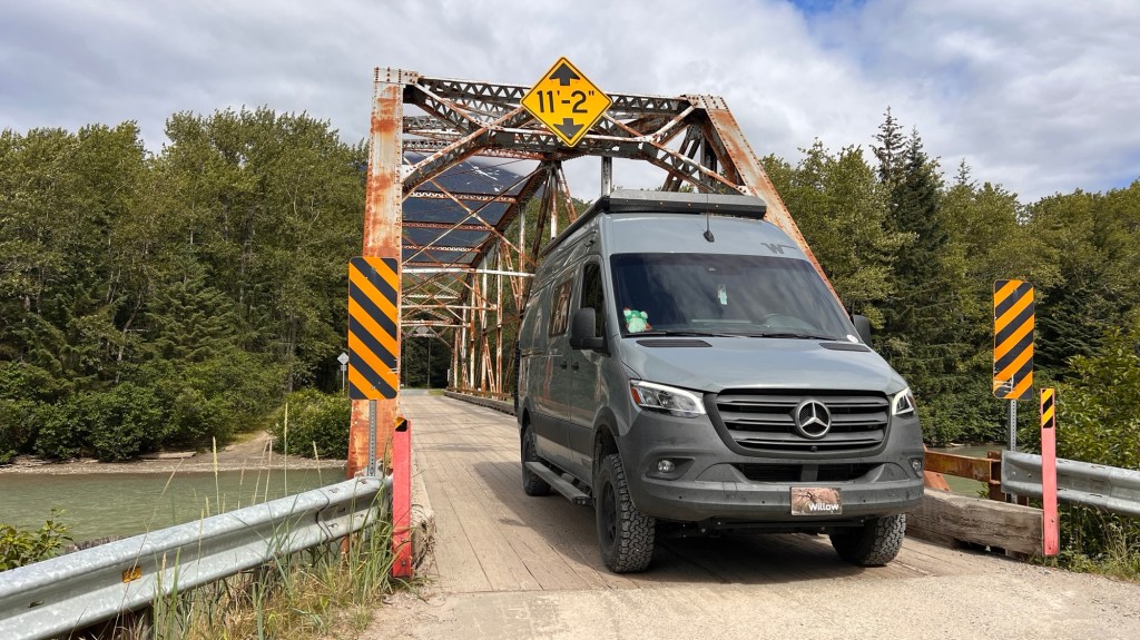
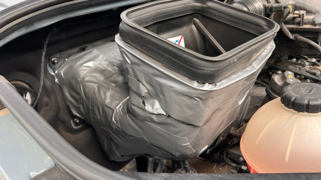
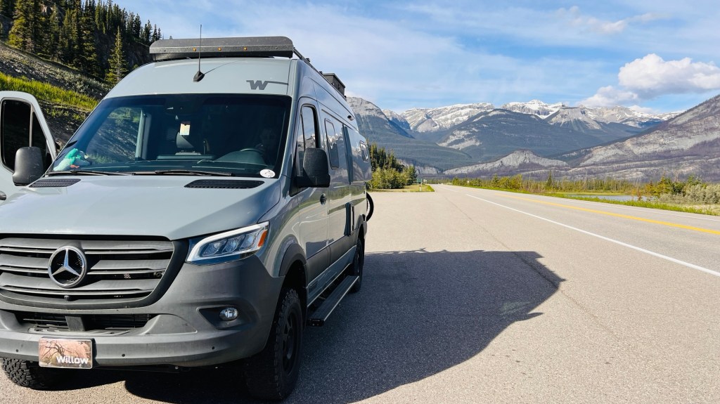
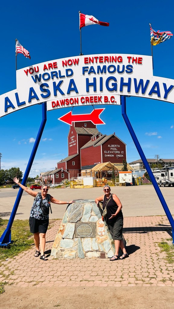
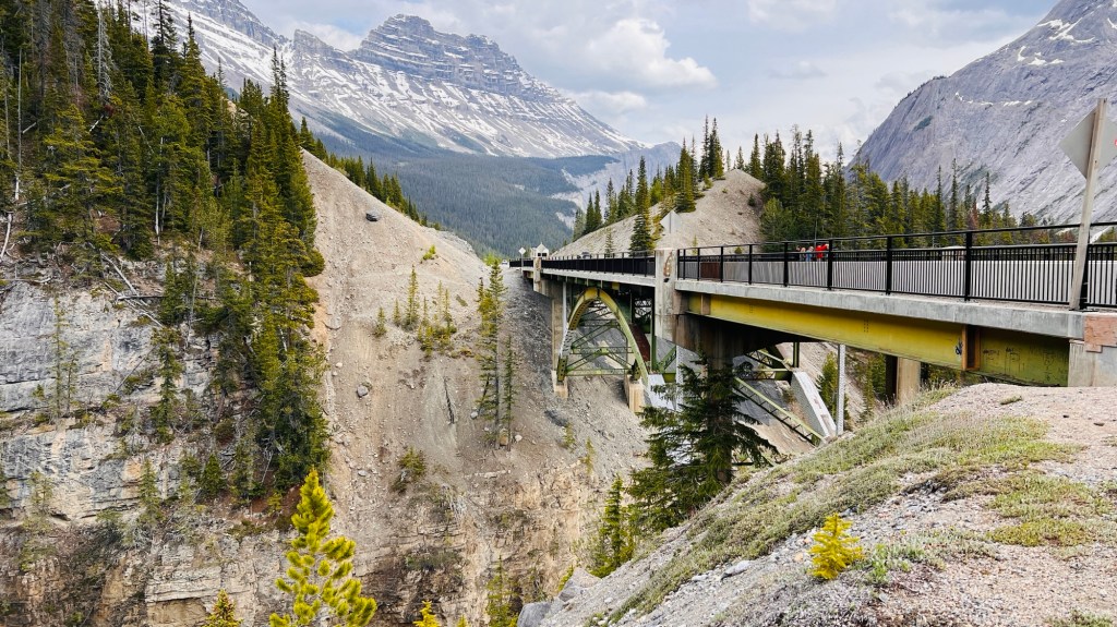
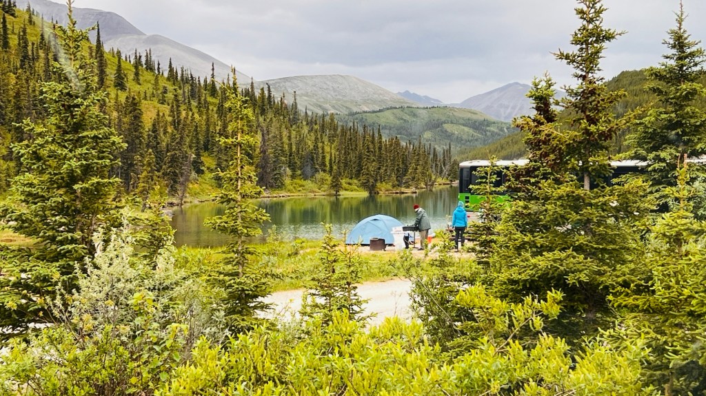
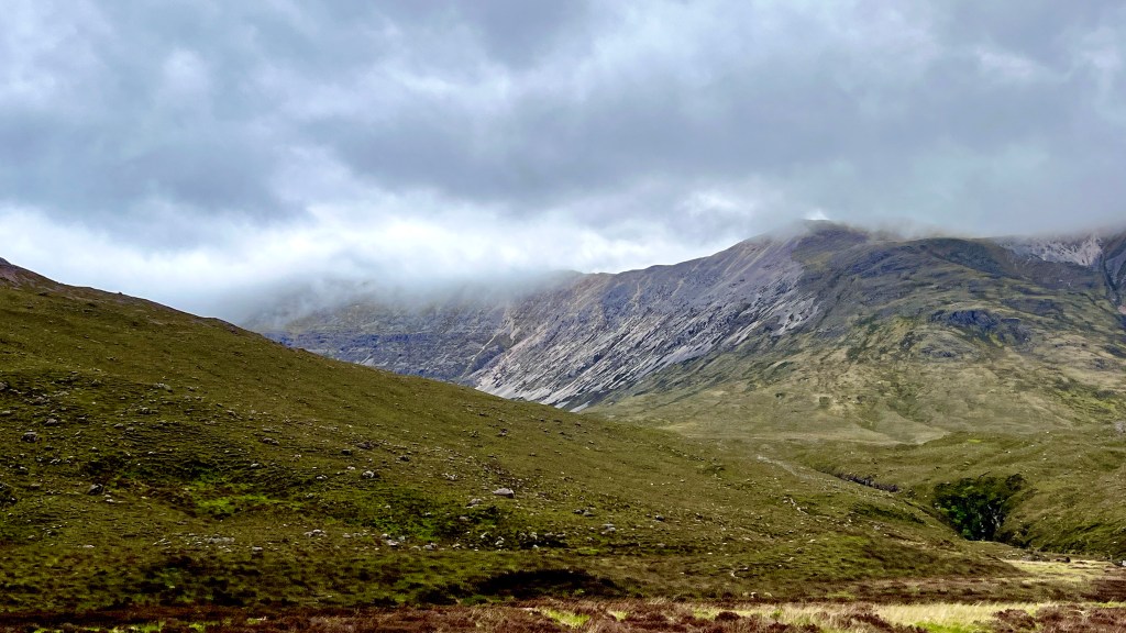
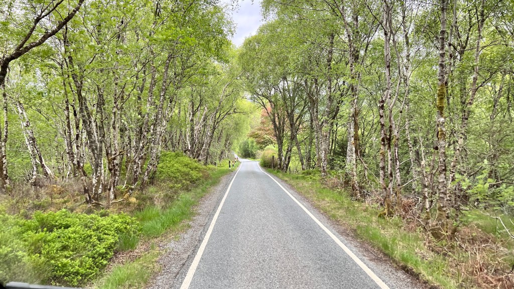
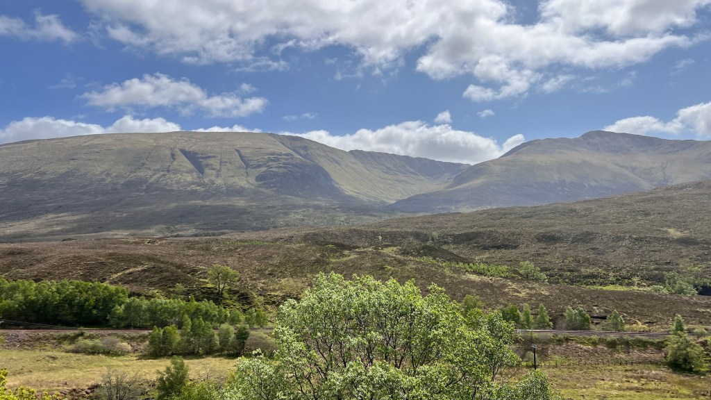
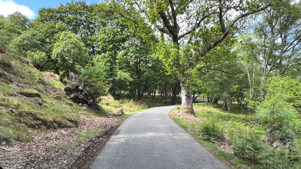
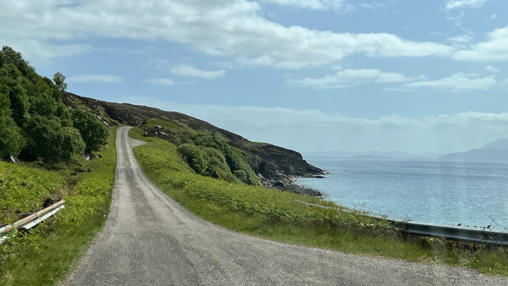
As a few of you know, I have been having some digestive disorders for almost a year. A friend of mine reminded me that it’s probably been much longer than that. The difference is the severity. Living as a nomad has been a lot of fun, except when an illness creeps in and knocks us down. 

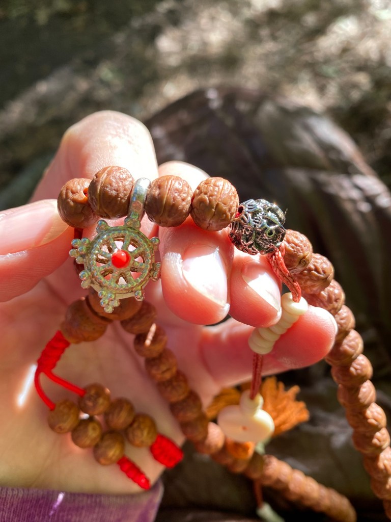
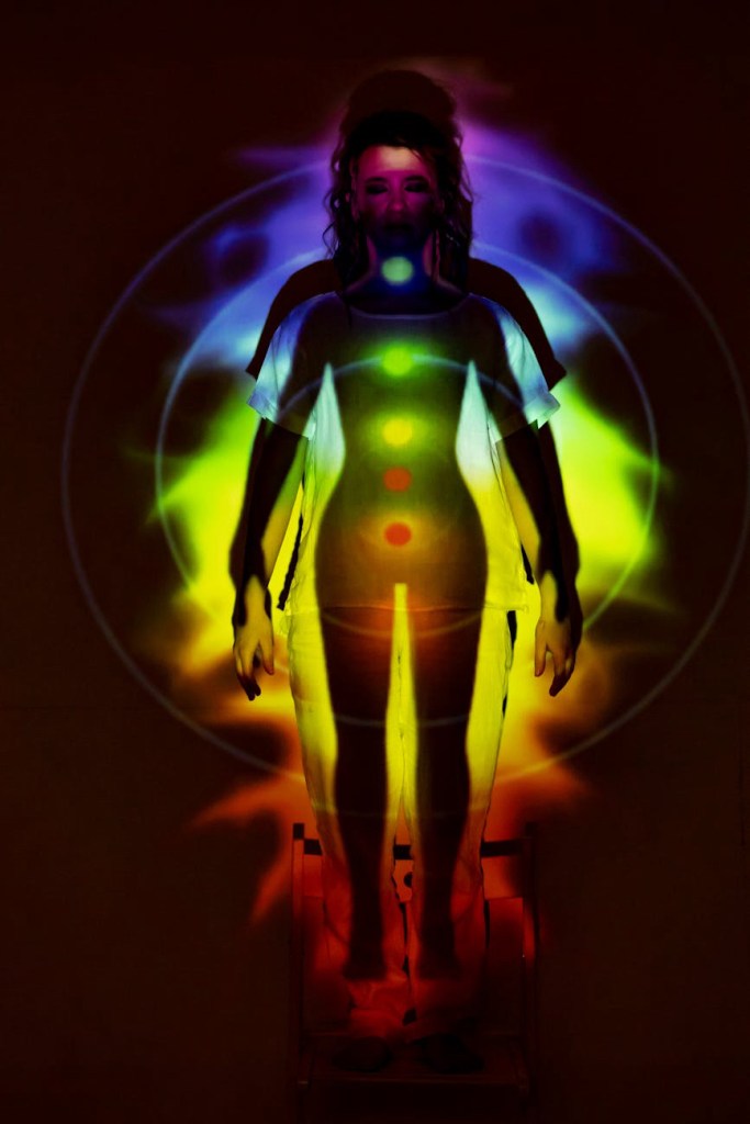
Not all illness has a physical cause, as I have come to understand all too well. Our world is so full of stresses, some from outside stimuli, others from within our own body and mind.  To understand the role stress has on our mental and physical beings, has become a goal of mine since I have stopped working. It’s been a chance for me to step back and really “feel” my body and mind. It’s not just work or a job that causes “stress dis-ease”. It can be relationships with oneself and others, physical limitations (real or imagined), dis-order and dis-ease inside the mind and body, environmental influences such as smoke, weather, amount of daylight, extremes in temperatures and diet. 

This setback in my health not only affects me but also Chris. There have been days on end that I have not been well enough to do anything. Constant stomach pain, not being able to eat, nausea and a squeezing sensation in my diaphragm that takes my breath away, have all become part of my daily life for at least the last four or five months. I don’t know anyone who can live with this and try to stay chipper and act as if nothing is wrong. I try so hard tho. 

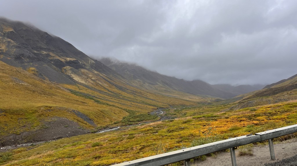
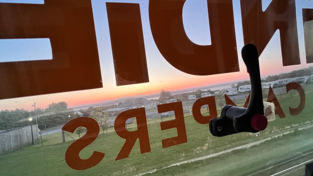
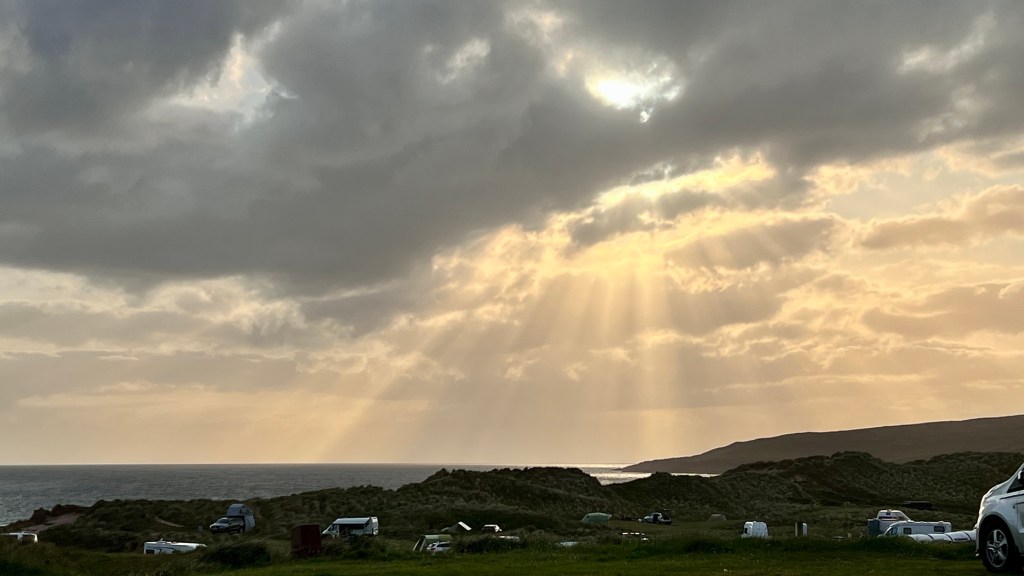
So here we sit in Rapid City, South Dakota. Many may ask…”why South Dakota? October 22, 2019, we sold everything we owned; our house, furniture, toys, tools, artwork, nick-knacks…everything but our van, which was to be our home. But…the Patriot Act states that we had to have a US domicile, in order to maintain banking in the US, including our retirement accounts. Now this is actually kinda fun, except when you need medical care, since you can look at different states and their laws and cost of living. How easy is it to get residency, register a car without being physically present, taxation of income, capital gains, etc. South Dakota checked off all the boxes. 

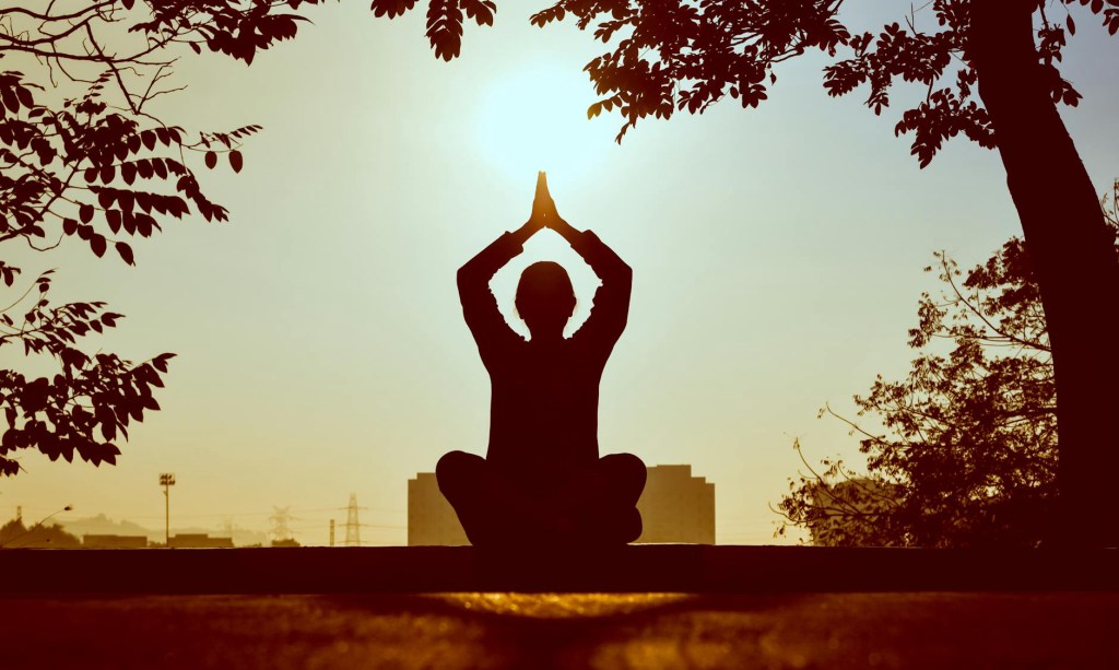
Now, here we sit, going through the messed up medical system of the USA. Doctors think only inside the boxes that the insurance companies set up for them to work within. That system has high deductibles that are easily consumed by the amount of testing they do to find a physical cause to the symptoms presented. My DR won’t even talk to me until all tests are completed and five other DRs look at and interpret the results, which can take up to 3 weeks we are being told. You can’t speak to anyone that doesn’t have an extended arm and hand in your face telling you to wait. I am not one to sit idly by and wait. There is no empathy, just f#%€d up rules. My point is with all these deductibles, it makes it hard to spend out of pocket $$ to see alternative Drs, like chiropractors, naturopaths, yoga instructors, acupuncture, meditation centers, on-line classes, etc., these practitioners often address the energy or dis-order inside the mind and body pathways, rather than pacifying symptoms. 

So why then, am I still sitting here? Although this is not where I’d like to be, stress caused by not feeling well can exasperate the dis-ease. Also not being able to stop for any length of time to heal, can be a problem when living as a nomad. There are other things besides surgery and invasive chemical medications that can soothe the symptoms and possibly correct the dis-ease or imbalance occurring in my body right now. These blocks and dis-order can be resolved, returning the body to a state of stasis. Stasis equals a dissolution of symptoms at their source. 

My main focus of my exploration is the vagus nerve, which is part of the parasympathetic nervous system. I also have had bouts with Ataxia in the past caused by reaction to an auto-immune inflammation in the body. While the DRs here twiddle their thumbs, I am attacking, perhaps, the root cause of this uncomfortable physical condition I find myself in. Regardless, our wings are clipped and we have hunkered down with a commitment to my health. 

Southward Bound

It’s warm and cozy, sitting in Willow (our van) with the heat on. It rained last night, as usual, and the morning sun is busting out at the seams as the heavy clouds give in to the coming day. 

The rain drops sit poised on the edge of the turning leaves and bushes on the forest floor,  just waiting to bedazzle the world when the sun finds its small existence. The lack of squirrels portends the coming of the fall chill and the stupendous color change beginning. For the last month, these busy little creatures have been scurrying from tree to tree, digging holes and filling them with a winter bounty, if they can find them under a blanket of fresh snow. The geese have been filling the skies in huge, jagged Vs, honking as they begin their southerly migration. Perhaps we should take note of these happenings and head south ourselves. 

We crossed the border from British Columbia Canada, a few days ago. The fall colors slowly fading out and the green leaves have reappeared as if we passed backward through time. The spectacular mountain vistas giving way to the subtle rolling hills covered in orchards and vineyards, then the unending flat fields of golden grains, farm houses and rogue silos, interrupting the golds with a few ancient cottonwoods, tin roofs glinting the suns rays like a diamond amongst the fields of gold. We’ve been sticking to wandering the backroads, trying to eek out whatever new experience we can find as we meander southward. 

It’s always bittersweet when we move from one place to another. This trip, now spanning over 9,500 miles, has seemed like a blur. The vast Canadian wilderness, coupled with the wildness of the Alaskan frontier, has made it easy to immerse oneself in nature, primal and raw. To have an intimate insight into the lives of the First Nations people, the animals and fishes that roam the vastness, the small plants, boreal forests, 14,000’ mountains, glaciers and lakes, Arctic tundra, towering fiords, and so much untamed beauty…has been a blessing that is etched into my mind forever. 

An Ode to Rubber Boots

The rain has come for another day…

I slink back to my bedroom and on my bed lay.

Oh come on says, a small voice in my head,

It’s but a bit of rain…

With fog drifting over head.

Just put on those rubber boots…

And throw off your dread.

My rubber boots are warm, cozy and dry…

If my toes are happy,

Then so am I.

So I wrangled myself

From out of my bed,

Opened the closet and then I said…

This will be fun.

This will be good.

I’ll put on my rubber boots,

I’ll be safe from harm…

My feet will be happy,

My feet will be warm.

A smile came over me…

I pulled in my rain coat

And was as happy as could be.

I opened the door

And I said to myself…

no more.

I stepped into the rain,

I clicked my heals… 

And without a complaint,

I thanked that little

voice in my head.

I was out of doors.

No more stuck inside.

And my rubber boots…

Kept me warm, safe and dry.


The Dalton Highway, Alaska

A trip to Alaska is a once in a lifetime thing…especially if you drive there.

We set out almost 2 months ago from Salt Lake City, UT…and hit the road for the long 2500 mile journey to Skagway, Alaska. Since, we’ve hit a good deal of Eastern British Columbia, The Southern Yukon Territory, and have made our way to Fairbanks, Alaska and up to the Antigun Pass on The Dalton Highway. Over 3500 miles covered.

I must say that the Dalton Highway, or the Haul Road, has been the most technical driving we’ve done. On a dry clear day, the road is just a dusty mess, rocks flying from passing vehicles, and deep pot holes. Now let’s add in road construction where they thoroughly soak the road with water and grade the road. Our once dusty road, becomes a swampy mess with mud showers for the van as semi trucks blast through the now water filled pot holes. By the time we reached Yukon Crossing, the van was covered in grey brown mud half way up the sides. The running board were piled an inch thick with mud and gravel. The back of the van was covered in mud and made it difficult to open the doors without becoming covered yourself.

The first night, we camped at Mile 60 BLM Campground and slept well. The next day was more of the same road conditions, but the landscape has changed dramatically. We had gone from huge Alder trees and thick, lush green forests to scrubby conifers, aspens and birch trees. Soon we reached the Arctic Circle, 66.33 degrees latitude…the goal we set out to accomplish. We pulled into the BLM Campground and settled in feeling very satisfied at our achievement.

The next morning, blue skies and sunshine, beckoned us to venture the next 60 miles to Coldfoot, a small town of about 125 people living a sustenance life off the land. It’s the last stop for gas and food before heading into the Arctic Tundra and the North Slope Mountains, Perdue Bay and Deadhorse, big oil mining towns and the beginning of the Trans-Alaskan pipeline. We buttoned up the van, cleaned off the windows and set out north for Coldfoot.

Just outside of Coldfoot, is an Interagency Visitors Center with the most helpful rangers who will answer all your questions on road conditions, weather and wild life sightings, mainly grizzly, Dahl sheep and Muskox. They also encouraged us to drive to the Antigun Pass, another 50 miles further north, and another notch in the ‘been there, done that’ belt. We were given a weather forecast for both Coldfoot and Antigun Pass, told the driving etiquette, and again, encouraged to explore further north.

The next morning, fog hung heavy in the treetops, but the skies were wanting to part so we made the decision to make the drive. I didn’t have much faith that the weather would clear with rain and snow in the forecast, and I was not getting my hopes up for a great photo day, but we packed up and bit the bullet, and we were on the road.

“The first 30 miles are paved,” one of the rangers told us the night before. Yes, indeed the road seemed like it was better than the last 200 we had driven…until…One thing I can tell you is, I’m not sure which is better, paved or unpaved?

Paved roads seem to sluff off on the sides where the permafrost has begun to melt, leaving no substrate to hold the tarmac in place. Second, the frost heaves are accented by skid marks as the drivers before had slammed on the brakes as they were launched into the air. Next are the potholes, they seem to grow in size as each passing semi bounces through them, some covering almost the entire road.

Dirt roads, well they have their issues and advantages as well. Rocks are by far the worst part of a dirt road. The Dalton Highway is renowned for breaking windshields. Second would have to be the mud, thick grayish mud, resembling concrete. The rain turns this into a slurry mess, coating everything it touches in a casing of grey slop, making entering the van nearly impossible without gloves or wiping handles and the edges of the doors with a rag. The dust, on dry days, is a fine powder that infiltrates rubber door seals, mechanical objects begin to squeak, and everything becomes covered in a light coating of white dust. The potholes are much more numerous and often times lined up just perfectly that there’s no choice but to slow to a crawl and step through each one. The best thing about a dirt road though, is it can be graded and potholes filled and compacted. This was witnessed by us both north bound and south as the crews watered and graded.

The day we decided to do the Antigun Pass, the weather didn’t hold and it rained most of the way. The first 30 miles of paved road was a pacifier for the last 20+ miles of muddy dirt road. I can’t imagine how we could’ve managed without the BFG KO2 tires on the van. At times the road was a soupy mess of mud as slick as snot. We made it to the top of Antigun Pass, covered thick in heavy clouds and rain, we jumped out of the van and took some photos and turned around for the decent back into Coldfoot.

A Tragedy

We are flying at 12000’ above the ice choked mountain tops of Glacier Bay, Alaska. Whenever the clouds part, we all crane our necks looking for a small airplane. The search continues today for the missing pilot and we have become part of the search, as anyone flying today.

We found out the rest of the story today from our taxi driver, Jax. She explained how loved and revered these 3 people were, an integral part of the community here in SE Alaska. Samuel, or Sam, was a seasoned pilot that loved the community and flying. Tanya and Hans, also in the missing plane, were also stand up members of the community. Hans provided air transportation to rafting companies, anglers, hunters and commuting people to other bigger cities around SE Alaska.

According to our taxi driver, the three had just attended a wedding in Haines and were on their way back to Yukatat when the plane went missing off radar around the Fairweather Range, a location of vast mountains and glaciers, rugged and beautiful.

Sam used to play Uncle Sam in Haines’ 4th of July parade. Hans and Tanya had been together forever and were integral members of this small tight knit community. The admiration and sadness, coming through Jax’s voice as she recanted memories. The entire atmosphere of Juneau, Haines, Yukatat and Dry Bay, has grown solemn as the search was called off due to bad weather. Planes have been grounded as a fog and rain blanket the coastal area again.

This weekend is the county fair in Haines. I’m sure that the revelry will be quelled by the loss of these three.

Tatshashini River, Canada: Day One

I slept well last night even though I had some butterflies starting. 6:30am was our wake up time but neither of us made it that far. I woke up with a bit of a nervous stomach and it took a while for me to choke down some food but eventually I had talked enough that I began to settle down.

We woke to some sunny skies with just a hint of dark clouds draped high in the mountains. It seemed we had caught a break in the weather. At around 9am, we all piled in the van and set off for the river. The van ride took about an hour and a half, at best guess, since I retired my Apple Watch last night. The scenery was amazing…as always. We crossed the border from Alaska back into the Yukon about 45 miles from Haines.

It’s hard to put words to the depths of the greens covering the mountain sides. When the sun hits the trees the mountains glitter like big green emeralds surrounded in the most true blue sky and skillfully formed white clouds. Snow is draped in the crevasses like garlands on a tree. A wide river valley full of cobble stones and glacier melt full of streams and big rivers, lies between the road we are on and the mountain range.

The rain started again. In the distant canyon, a huge rainbow appeared as the sheets of rain funneled down from the mountain tops. We all took it as a sign. For the next half hour we drove in and out of the rain showers until the sun shown through the last of the black heavy clouds. Perhaps the rainbow was a sign.

We cut off on a steep, muddy dirt road and finally arrived at the river…but not before a bear decided to mozie on down the road in front of us. He reminded me of Gandaulf as he shook his boodie as he walked down the road like a runway model shaking his ass.

Arriving at the river, the guides were busily rigging the rafts. We were suited up, given a life jacket and a paddle, given the safety protocol talk and we were assigned boats and set off.

We were provided with dry paddle suits, top and bottoms, and top quality. The boats were 18’ NRS boats with extra large tubes. Two to a boat plus a guide. We got Carly the only woman guide. Queer thing, the participants are all women! Not planned in any way. All have experience on rivers all over the world, like Chris and I.

Over all, the river was gorgeous! Fast moving current propelled by fast glacier and snow melt. The rapids were quite plentiful, but we deliberately missed the wave trains as much as possible. The first wave that broke over the boat into my lap and down my dry suit was a quick and cold reminder why. The river runs in the high 30s to 40 degrees Fahrenheit. “When the wind blows,” as Andy, the lead guide said, “it’s like a fan blowing over an ice cube.”

Our first camp is situated on a stone bar on the right side of the river. The sun plays games with us and our comfort level. When it is out, it warms up quickly, so you take off a layer, then the wind blows off the river and you put a layer on. Hell, I’d had already met my fitness goals just from wardrobe changes. Today was a good trial for how to layer and how difficult it is to take one off or put one on.

Time for dinner and a well deserved nights sleep.

Crossing borders

It’s been 12 days since we left Salt Lake City. Twelve days of constant driving, sleeping, hiking and driving some more. Yesterday, we crossed from Canada into Alaska. The grandeur of the views before us just kept getting more and more grand as we pushed through the rolling hills, and back to the Great Northern Rocky Mountains.

White Pass was a long mountainous pass with switchbacks and craggy glacier choked peaks jutting up from the valleys…with rivers flowing out of these behemoths in cascading waterfalls. Scattered snow melt lakes dotted the landscape, each with its own color of blue, green or milky white. The subalpine trees sprung up from rocky out crops and random high spots, stunted by the harsh winter months and many feet of snow. Small creatures darted from tree to tree, outcropping to outcropping. Birds flitted from tree to tree, with some doing crazy mid-air acrobatics, chasing insects we can’t see.

We exited the ALCAN Highway in Tagish, connecting with the Klondike Highway for our last push into Skagway, Alaska. The history along this stretch of road dates way back to the late 1800s when the gold rush took over this part of Canada and Alaska. The Tlingit people trapped this harsh land for survival. The Russians came to harvest what they could from the gold rich mountain streams and lakes and to buy pelts from the Tlingit people.

In 1942, the Alaska Highway was being completed which brought more and more people into the small villages and allowed for stores, saloons and hotels to spring up creating a booming mercantile market that allowed for easy sale of pelts and goods needed for gold mining. All this collapsed as the gold dried up. The roads to the villages still remained so the Tlingit continued to occupy the infrastructure that remained and created a lucrative trading business of beaver, lynx, bobcat and other large game animal hides. They supplied gas to westward travelers in their fancy new cars, a place to sleep and eat. Some of these towns, such as Dyea, have streets and street name signs, but the buildings have long since returned to the earth. Only trees, pictures on posts, and a boreal forest stand where the buildings once did. It is left to the imagination once again.

We chose to stay in the historic district/town of Dyea last night and tonight. Our camp sits on a tidal river. We learned that there are 22 different species of mosquito in Alaska, and I think we encountered half of them. A strong breeze did keep the rest of them away. We were entertained by a couple of bald eagles hunting on the tidal flats. We were not so amused by the little chipmunks that thought it would be fun to get up under the hood and strip some felt insulation off an intake for the fresh air by digging it off fuzzy piece by fuzzy piece. We decided to tape the shit out of it to prevent any more marauding.

Skagway

Today we packed up, went into town, and got showers at the Skagway Rec Center…much needed. You can pay $10 and stand under all the hot water you want! They even provide towels…bonus. Now all clean and wearing clean clothes, we are going to “paint the town” of Skagway.

Stone Mountain, Summit Lake, BC, Canada

We’ve got under 500 miles to go before our turnoff to Skagway. Today’s been a long slog across rolling hills and thickly forested landscape. The rain came down heavy almost from the time we hit the road. The burn scars became more and more prevalent as we came up to Fort Nelson, which is where you finally turn WNW towards Alaska.

It is incredible how straight roads can be. The roads are just tar strips atop a berm built up to aide in run off. These ribbons of black go for miles on end, or perhaps more fitting, kilometers on end, cut through a huge swath of trees. This is by design I’m guessing, to avoid vehicle big game accidents. I’ve heard a story of a guy who watched an elk and calf bolt out of the thick forest and straight across the road in front of him. He didn’t see the bear chasing them until he slammed in his brakes to avoid a deadly collision with it.

There are mystery roads all over. Dirt roads that just veer off into the thick vegetation. No signage and no squiggly line on the gps. Sometimes you can see a river or a lake as you blast by, but other times they just go into the darkness.

Provençal parks in Canada, are like our state parks in the USA. They are dotted all over the map with no real rhyme or reason. Tonight we are at about 4200 feet/1280m. We just got back into the northern Rockies. The horizon changed radically from rolling hills to steep passes and snow capped jagged mountains. We picked a place called Stone Mountain Provençal Park and Summit Lake Campground. Had the weather cooperated, we could’ve blown up our pack rafts and paddled around for hours exploring the coves and shoreline. Perhaps in the morning, the sun will grace us with its shining face and we can start the day off with a paddle.

One Door Closes…Another Opens

We set out from Utah over a month ago. We said our farewells and hopped on a plane, one carry-on sized roller bag each, one shared large backpack, and a small carry-on pack each. All our worldly possessions in those bags. It was a bittersweet parting, but the world has become our oyster, and we plan to explore it for a few years. Our goal is to find somewhere we can settle down for a while, but never long enough for the grass to grow under our feet.

Our first stop was Ireland, an incredibly enchanting isle, full of wonderful food, drink, music and genuinely kind people. The scenery was jaw dropping gorgeous, the roads narrow and windy. We rented a camper van from Indie Campers out of Dublin…once a van lifer it’s so hard to break away from the freedom it affords. Our challenge…driving on the left side of the road, in a right hand drive stick shift.

I, being the navigator, was also reminding Chris to turn left stay left and turn right stay left as well. I’d say that after 5 days, she developed the muscle memory it takes to take on manning the controls on her own. For the next few weeks I still had my place not only getting us were we needed to be safely, I gradually returned the turn signals to her. She did splendidly, even coming to complete stops when a large truck or bus was barreling down on us. Next came the round-about or traffic circle. There were normally 3 to 5 exists out of each one it was just picking what one would take you where you needed to go. Mostly we had GPS to tell us where to go. I would sit with my arm out like a compass needle pointing our way through each and operating the turn signal as Chris shifted. What a team we made!

I think what I loved the most about this fine country, was the architecture and the accompanying tales of the families over hundreds of years. Some buildings were built as far back as 1200. Tales of Vikings, Norse, Kings, and many other European invaders and religious conquests.

Political and religious history all incredibly fascinating, and standing in front of you was the building that saw all this history and still stood tall. Generations upon generations of land ownership and the hard work it took to eek out a living. Stories of whole villages wiped out by famine, war or plague. The flight of millions across uncharted waters to the New World of America. Strong and proud people.

Scotland was our next stop. We had made no plans except to rent another van and see where it took us. After the first few days in Ireland, we were in a bit of a panic about driving for another two weeks. Our initial plan was to drive the 515 +/- miles around the North Coast 500. It is a windy, mostly single track, paved road that hugged the north west coast all the way to the most northern tip of Scotland and back down the north east coast. We had seen pictures of the roads, but it was the scenery that was the biggest pull.

When we picked up the van we were thoroughly convinced that we didn’t have the driving skills, or perhaps courage, to take it on, so we began to make other plans. We made our way to Inverness, the start of the NC500 and booked a pitch at a wonderful campground. It was here that an older British man in a camper asked us if we were going to drive the NC500? I stood there as he explained the beauty and the chance to see huge cliffs and mountains. He was so convincing that we could do it, we had to give it a go.

The North Coast 500 started out as a big 4 lane road that meandered through bright yellow fields of grape seed farms, shaggy cows and fields of sheep grazing on the intensely green fields. The first real choice is whether to drive clockwise or anti-clockwise. We chose to do it clockwise so we could get a little more time driving under our belt before we tackled the 12-15% grades on the most northern end. This proved to be a wise move since most do it anti-clockwise. The roads quickly became narrow with a soft side, if at all. We were happy that the Scots weren’t as rock wall happy as the Irish and we didn’t feel that we’d take out the side of the van.

Passing became a common occurrence. It was quite simple really. One vehicle coming would pull off in a ‘passing place’ and flash their lights signaling to the oncoming driver to pass as they waited. This meant that you not only needed to pay attention to the road, but also look further ahead, sometimes a mile. The worst was the big truck, of which we didn’t pass many the first few days. They owned the roads and would rarely even slow down when passing and hardly ever stopped for you to pass. The tour buses as well would take their half out of the middle and some. We found both quite rude. There was one road right off that cautioned campers not to use it and an alternate route, 17 miles out of the way, was recommended. We sided on caution and the drive was spectacular. At the end of everyday of driving tho, Chris was spent. A cold beer was always waiting in the fridge.

Wild camping is allowed in Scotland. There are only a few rules. Don’t block and entrance or road, don’t park in a passing place and mind private property. We didn’t make any reservations hoping we could access some of these wild camping areas. We passed by several lovely pull offs that other campers had chosen but never did wild camp. Mainly because we didn’t want to use the toilet in the van to do anything but pee. The second reason was the fridge in the van ran off the batteries if not plugged in. Our van we built had solar so wild camping for weeks was not an issue. Here tho, if the fridge drew down the battery, there was no AAA or roadside assistance that could bail you out. Established campgrounds cost between €\£ 24-38 a night and all had running water and electric hook ups. This gave us peace-of-mind but also an added expense we didn’t plan on. So be it…from that first night on we made reservations.

We gave ourselves 9 days to do the whole route. By the time we reached Ullapool on the middle west coast however, the roads were getting steeper and the traffic heavier. We chose to head an hour and a half, which really meant 2-3 hours and set out across the middle to Golspie. From there we headed up to the north anti-clockwise, to John O’Groats and Dunnet Bay for a 2 night stay. The huge cliffs were a rookery for seabirds and wind swept green grasses grew right up to the tops, creating an incredibly stark contrast. We camped at Dunnet Bay right at the edge of the sea and nestled in the grass covered dunes. The next morning we set off for the Northern most part of Scotland for an obligatory photo shoot by the John ‘O Groats pole, then headed back down to Inverness and back across to Edinburgh.

The next morning we turned in the van for good. After driving in Ireland and Scotland for a month, it is time to move on to our next stop. Portugal!

NC 500 First Half: Inverness to Ullapool

The NC 500 is a ring road around the North east to North west coast of Scotland. We bagan in Inverness and decided to go clock-wise. The roads are quite varied from single track to double lane, some with curbs, some rock walls, some guard rails, all narrow.

The first few days, we ran into a few cars coming anti-clockwise around the road. Having been in Ireland, where the roads are much narrower, Chris was up to the challenge. The views from all directions are, simply put, breath-taking. The further north we go, the more small towns and single homes we pass. Mostly fishing villages. The history dates back hundreds of years.

Our first stop was in Applecross. A small town at the end of the road. There are two ways in; the first is a winding switchback road that shoots straight up into the highlands with accents and descents at 20% grades and hairpin, single track roads. This is not recommended for anything bigger that a Type T2 VW camper. The second takes off out of Shieldaig, also a single track with passing points, but is a more gradual meandering road along the coast. It is a 23 mile trek in and 23 back out. From your final destination, Applecross, you are awarded with the beautiful Isle of Skye vistas and a proper sunset, providing the clouds part. Sunset is currently at 10pm and sunrise at 4:40am and we are still a month away from the longest day.

We set our next destination as Gairloch and ventured about 4 miles outside of town to Big Sands, a camp area situated in the first and secondary dunes. The camp is spread amongst the dunes on grassy pitches, some with electric and others without. It is in this small sea that hundreds of bottle nose dolphins and basking sharks can be seen on a calm clear day…of which we had neither during our stay. We were graced with a few hours of clear skies and sun, but with a constant 10mph wind, the sea was awash with white caps, making it difficult to do any spotting.

Today we headed further north to Ullapool. This is a big port city, okay not very big city, but the port services 2 car ferries out to the Isle of Lewis. From there you can caravan around and take a ferry to Isle of Skye and back to the mainland.

In Ullapool, there isn’t much going on past 6pm. We snuck in just before closing time, to the Seafood Shack, a food truck serving only fresh and sustainable food at very reasonable prices, at least for fish and crab offerings. The ferry had just landed so the place was jammed. We placed our order, Chris got the Halibut wrap and I opted for the dungeness crab, both served with a healthy serving of green salad.

We are starting to settle into a life of van travel again, this time without Gandaulf. I do get my share of puppy lovin’ for sure. Every dog I give scratches to, seems to know I am missing my boy. He would’ve enjoyed playing here, so much room to run, and water to swim in.

Around every turn is another gasp at the beauty, another picture postcard moment. We still have nine days left in our Scotland itinerary. Can hardly wait to see what the far north and north east has to offer. Cheers!