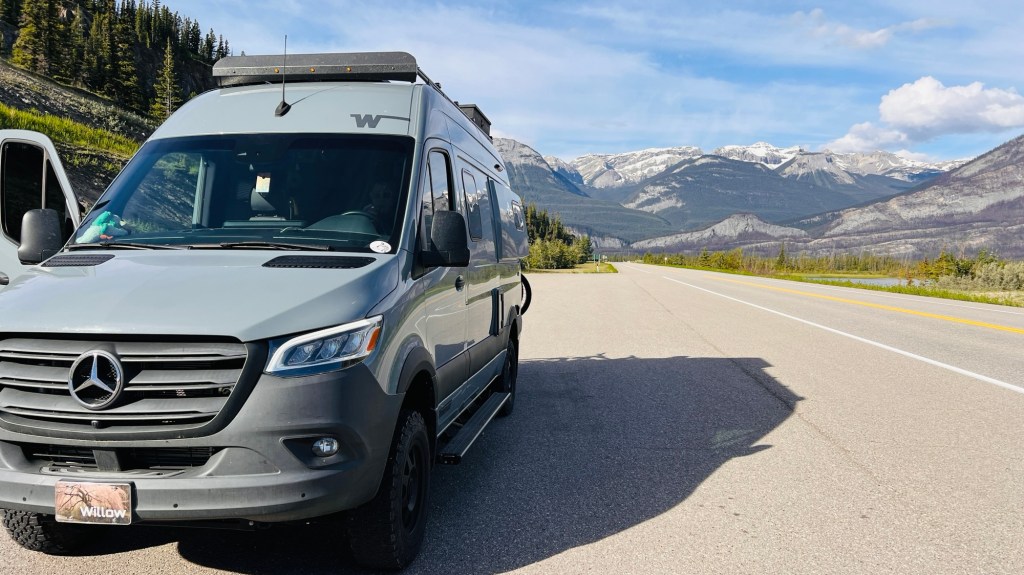
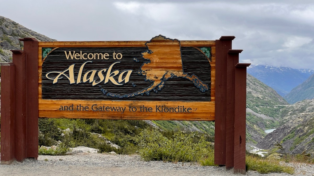
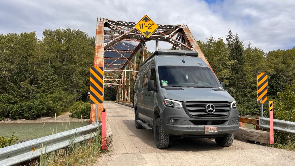
It’s been 12 days since we left Salt Lake City. Twelve days of constant driving, sleeping, hiking and driving some more. Yesterday, we crossed from Canada into Alaska. The grandeur of the views before us just kept getting more and more grand as we pushed through the rolling hills, and back to the Great Northern Rocky Mountains.


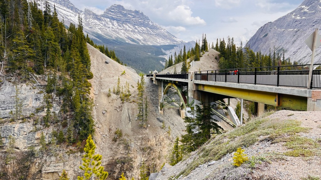
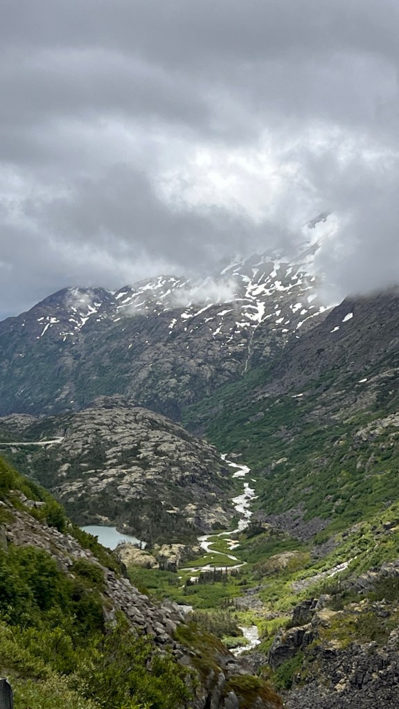
White Pass was a long mountainous pass with switchbacks and craggy glacier choked peaks jutting up from the valleys…with rivers flowing out of these behemoths in cascading waterfalls. Scattered snow melt lakes dotted the landscape, each with its own color of blue, green or milky white. The subalpine trees sprung up from rocky out crops and random high spots, stunted by the harsh winter months and many feet of snow. Small creatures darted from tree to tree, outcropping to outcropping. Birds flitted from tree to tree, with some doing crazy mid-air acrobatics, chasing insects we can’t see.
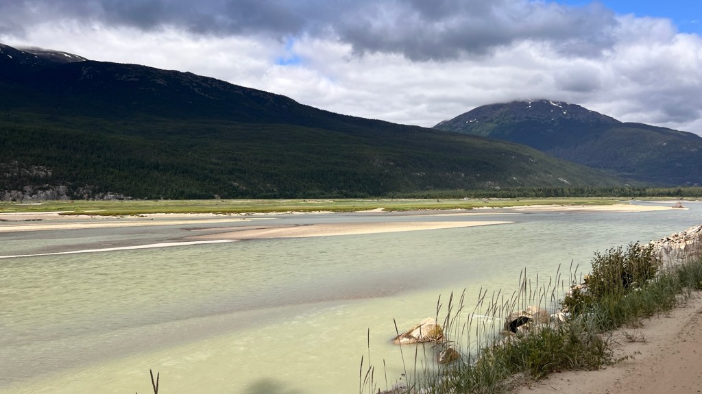


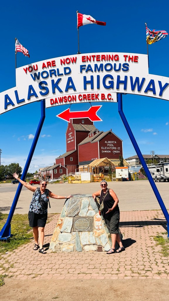
We exited the ALCAN Highway in Tagish, connecting with the Klondike Highway for our last push into Skagway, Alaska. The history along this stretch of road dates way back to the late 1800s when the gold rush took over this part of Canada and Alaska. The Tlingit people trapped this harsh land for survival. The Russians came to harvest what they could from the gold rich mountain streams and lakes and to buy pelts from the Tlingit people.


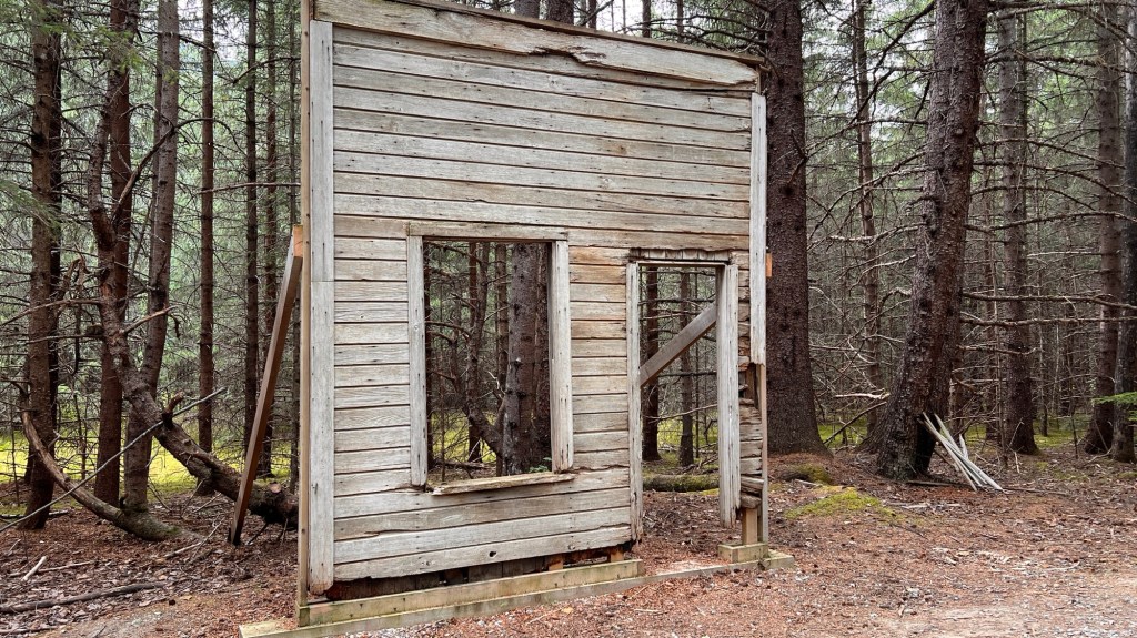
In 1942, the Alaska Highway was being completed which brought more and more people into the small villages and allowed for stores, saloons and hotels to spring up creating a booming mercantile market that allowed for easy sale of pelts and goods needed for gold mining. All this collapsed as the gold dried up. The roads to the villages still remained so the Tlingit continued to occupy the infrastructure that remained and created a lucrative trading business of beaver, lynx, bobcat and other large game animal hides. They supplied gas to westward travelers in their fancy new cars, a place to sleep and eat. Some of these towns, such as Dyea, have streets and street name signs, but the buildings have long since returned to the earth. Only trees, pictures on posts, and a boreal forest stand where the buildings once did. It is left to the imagination once again.


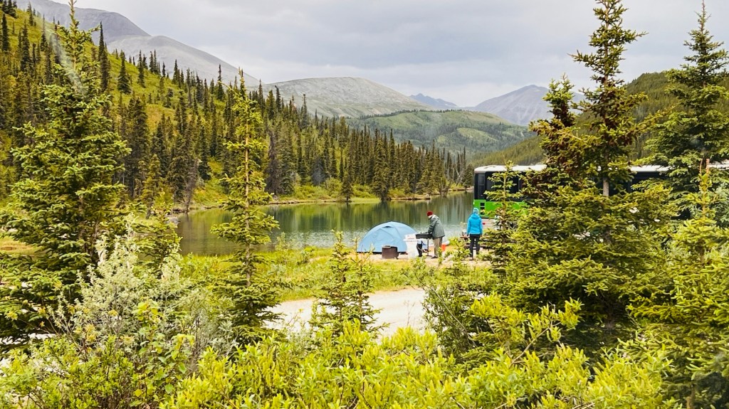
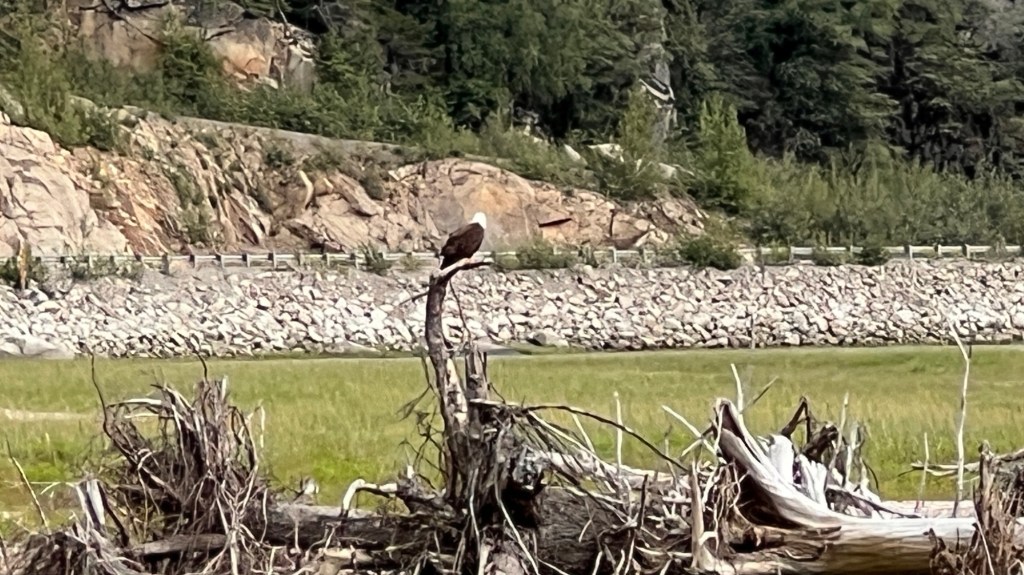
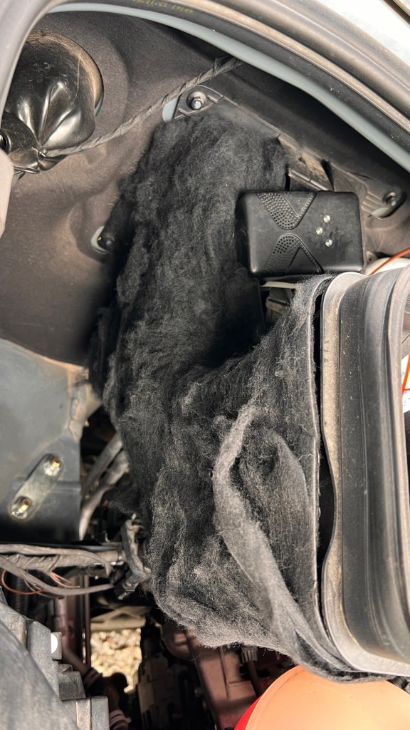
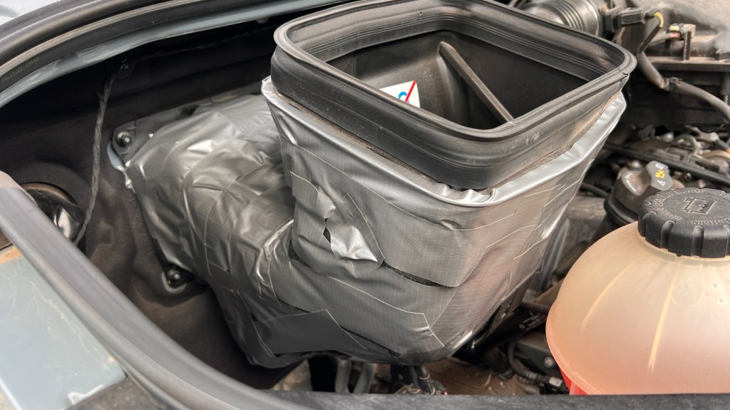
We chose to stay in the historic district/town of Dyea last night and tonight. Our camp sits on a tidal river. We learned that there are 22 different species of mosquito in Alaska, and I think we encountered half of them. A strong breeze did keep the rest of them away. We were entertained by a couple of bald eagles hunting on the tidal flats. We were not so amused by the little chipmunks that thought it would be fun to get up under the hood and strip some felt insulation off an intake for the fresh air by digging it off fuzzy piece by fuzzy piece. We decided to tape the shit out of it to prevent any more marauding.

Today we packed up, went into town, and got showers at the Skagway Rec Center…much needed. You can pay $10 and stand under all the hot water you want! They even provide towels…bonus. Now all clean and wearing clean clothes, we are going to “paint the town” of Skagway.