
We’ve got under 500 miles to go before our turnoff to Skagway. Today’s been a long slog across rolling hills and thickly forested landscape. The rain came down heavy almost from the time we hit the road. The burn scars became more and more prevalent as we came up to Fort Nelson, which is where you finally turn WNW towards Alaska.


It is incredible how straight roads can be. The roads are just tar strips atop a berm built up to aide in run off. These ribbons of black go for miles on end, or perhaps more fitting, kilometers on end, cut through a huge swath of trees. This is by design I’m guessing, to avoid vehicle big game accidents. I’ve heard a story of a guy who watched an elk and calf bolt out of the thick forest and straight across the road in front of him. He didn’t see the bear chasing them until he slammed in his brakes to avoid a deadly collision with it.

There are mystery roads all over. Dirt roads that just veer off into the thick vegetation. No signage and no squiggly line on the gps. Sometimes you can see a river or a lake as you blast by, but other times they just go into the darkness.
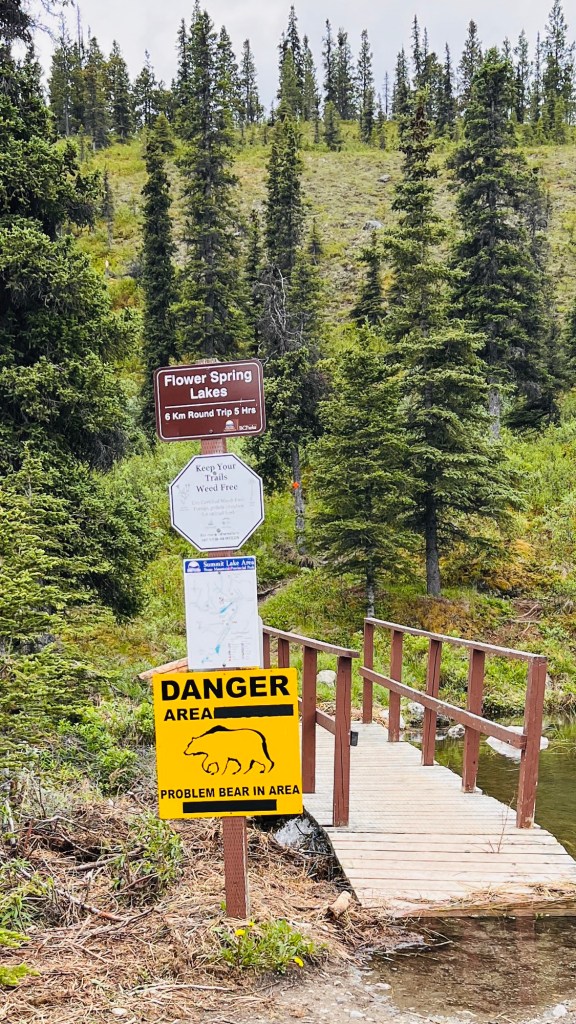
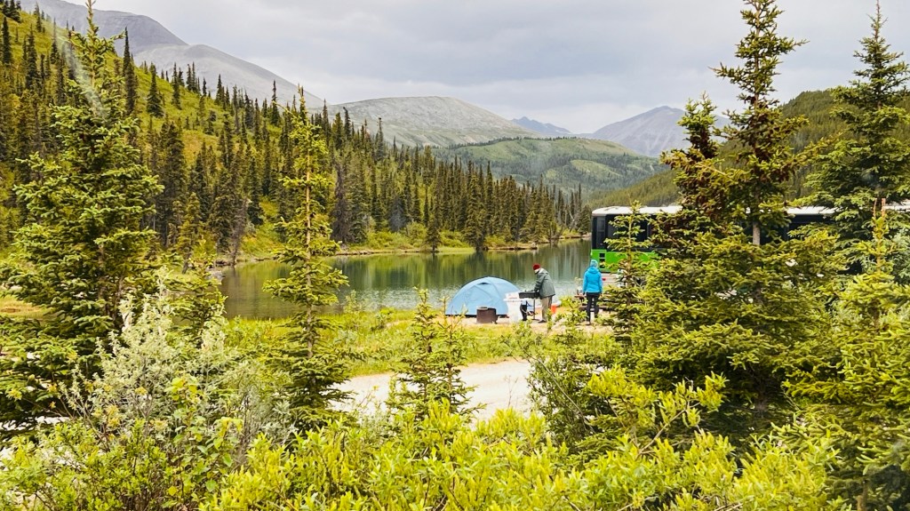

Provençal parks in Canada, are like our state parks in the USA. They are dotted all over the map with no real rhyme or reason. Tonight we are at about 4200 feet/1280m. We just got back into the northern Rockies. The horizon changed radically from rolling hills to steep passes and snow capped jagged mountains. We picked a place called Stone Mountain Provençal Park and Summit Lake Campground. Had the weather cooperated, we could’ve blown up our pack rafts and paddled around for hours exploring the coves and shoreline. Perhaps in the morning, the sun will grace us with its shining face and we can start the day off with a paddle.

